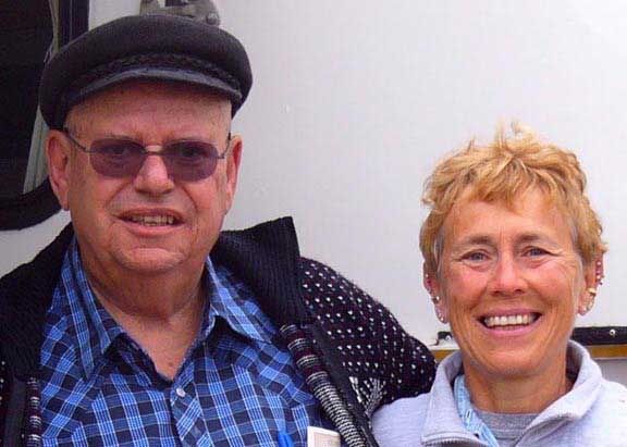
On Thursday 3/27 Teddy & I with two other couples drove to the only spot in the Grand Canyon National Park where it is possible to drive a vehicle down to the Colorado River at the bottom of the canyon.
 The track down to the Colorado starts from the end of a residential street at the northeast edge of the town of Peach Springs, AZ and is owned by the Hualapai (wall-uh-pie) Indian tribe. A permit is required and it cost us $12.50 for each person in the truck. for the first few miles, the road passes along a dry, dusty stream bed in a small canyon, past clumps of trees and bushes, and then crosses more open land with scattered cacti - close to the springs after which canyon and town are named. The canyon proper starts 6 miles from town - the road is a bumpy, unpaved track (Indian Reservation Route 6). The stone & gravel surface was fine for my truck although it got progressively worse near the bottom. As the canyon deepens, the types of cacti and other plants changed noticeably, especially now in early summer when they are in flower. The surrounding cliffs became steadily higher and more impressive, and several side canyons joined from both sides, including the ominous-sounding Hells Canyon. The last branch was Diamond Creek Canyon, which has water flowing through all year round. The road then crosses the creek about 6 times, and for a short distance ran in the streambed. The water was at most 4 inches deep, but might of course be much deeper at other times. There is a car park and camping area just before the first stream crossing. 1.5 miles after the creek is first encountered, the road emerges onto a wide, sandy beach beside the Colorado river,
a total journey time of almost 2 hours to traverse the 21 miles. The road is mostly used to take rafting parties in and out of the river.

On the way back we decided to take old route 66 instead of route 40. The section between Kingman and Oatman crosses a mountain range and is a narrow two track highway hacked out of the sides of cliffs with many hairpin switchbacks. I'm sure that it is the road where they filmed Desi & Lucy in the movie "The Long Long Trailer".

No comments:
Post a Comment